Land-Oriented Geomatics Analysis Network

Precision surveying,
measured once.

A professional geomatics and land surveying firm delivering precise, reliable and compliant solutions for land, infrastructure and development across Malaysia.

14+Years field experience
13States covered
9Survey disciplines
Accurate · Reliable · Professional
CadastralEngineeringAirborneLiDARGeodeticTerrestrialUnderground UtilityBIMGIS CadastralEngineeringAirborneLiDARGeodeticTerrestrialUnderground UtilityBIMGIS
About LOGAN

Data that must be measured once and trusted for decades.

LOGAN — Land-Oriented Geomatics Analysis Network — is a professional geomatics and land surveying firm established to deliver precise, reliable and compliant surveying solutions for land, infrastructure and development projects.

The name represents a strong connection to land orientation, spatial accuracy and advanced surveying practice. The distinctive letter A in the wordmark — designed to represent a Total Station — symbolises precision measurement, technical expertise and the core foundation of the firm's operations.

We are small enough to give every client direct accountability, and equipped enough to handle work across the full geomatics spectrum — supporting government authorities, private developers, consultants and contractors.

"The A in LOGAN represents a Total Station — the foundation of our surveying practice."
  • 01Accuracy-driven surveying solutions
  • 02Compliance with statutory & regulatory standards
  • 03Application of modern geomatics technology
  • 04Reliable spatial data for informed decisions
Surveyors running a digital level and staff in the fieldControl run · digital level & staff
Meet LOGAN

See our work in action.

Professional surveying services delivering accurate, reliable spatial data across Malaysia.

What guides us

Vision, mission & values.

Vision

To be a trusted leader in geomatics and land surveying, recognised for our commitment to accuracy, integrity and excellence in service delivery.

Mission

  • 01Deliver precise and dependable surveying data.
  • 02Support responsible land and infrastructure development.
  • 03Ensure full adherence to statutory and regulatory requirements.
  • 04Provide professional, client-focused solutions on time.

Values

  • AAccuracyRigorous standards in every survey project.
  • CComplianceStrict adherence to legal and professional standards.
  • TTechnologyState-of-the-art instruments and modern methods.
  • RReliabilityConsistent, dependable results delivered on time.
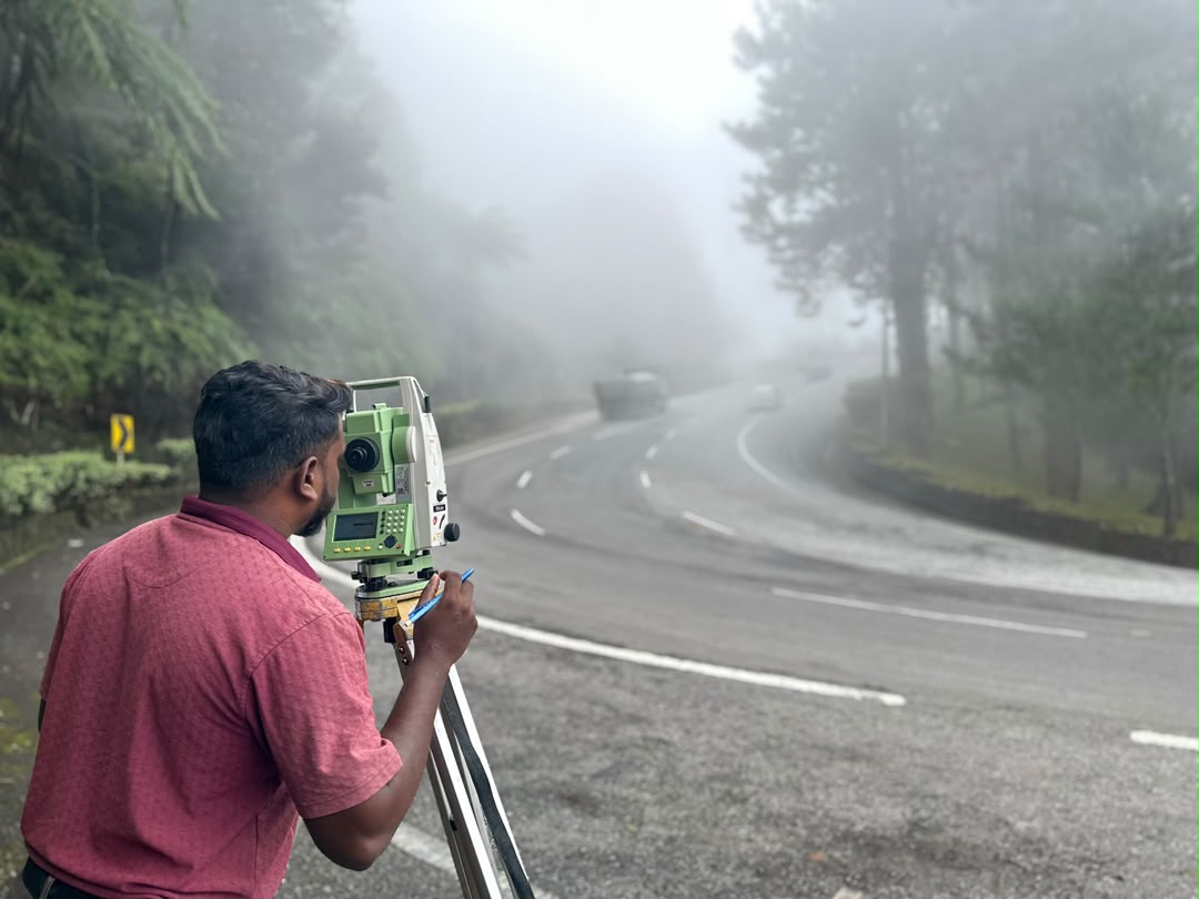
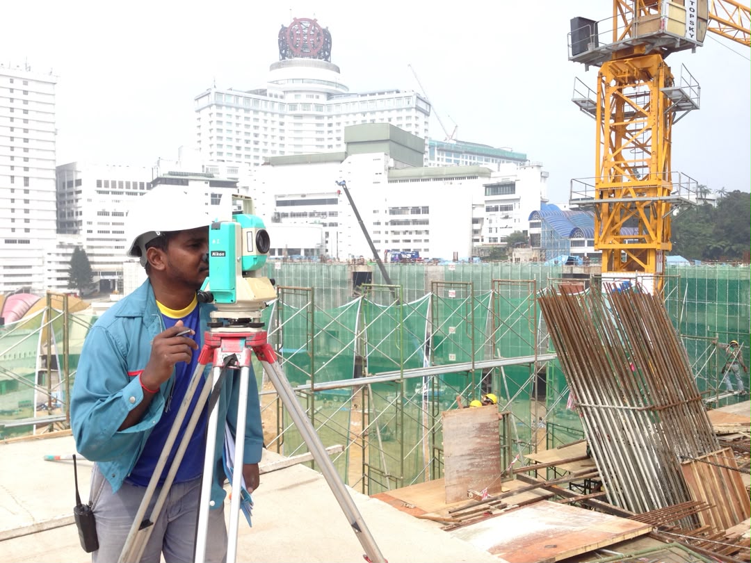
Survey engineer taking measurements on station
On station — field acquisition · Peninsular Malaysia
Leadership

Direct accountability from the top.

PL

P. Logeswaran

Managing Director · Registered Land Surveyor
Qualifications
B.Eng (Geomatic), Universiti Teknologi Malaysia
Experience
14 years +
Specialisation
Cadastral · Engineering · Hydrographic · Advanced geomatics

P. Logeswaran is the founding Managing Director of LOGAN, leading the firm's engagements across cadastral, engineering, hydrographic, terrestrial and advanced geomatics surveys — with field experience built over years of survey work in Kuala Lumpur, Selangor and across Peninsular Malaysia.

He has executed subdivision and strata title surveys under the National Land Code, prepared Certified Plans for land and building partitions, and led underground utility detection campaigns on infrastructure corridors. He works closely with government agencies and licensed surveyors on projects requiring rigorous adherence to JUPEM standards and the Licensed Land Surveyors Act.

"Every survey should meet the highest professional standards, and every client should receive direct accountability from the firm's leadership."

Services

The full geomatics spectrum.

A comprehensive range of land surveying and geomatics solutions, executed with precise instruments, advanced technology and proven methodologies.

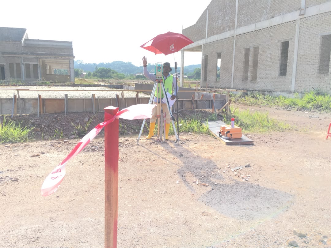
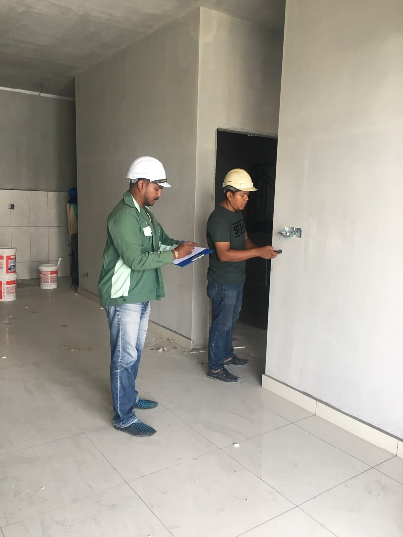
Cadastral survey at construction site Cadastral boundary survey in field
01

Cadastral

Accurate boundary surveying for land subdivision, amalgamation, title applications and dispute resolution in compliance with land authority standards.

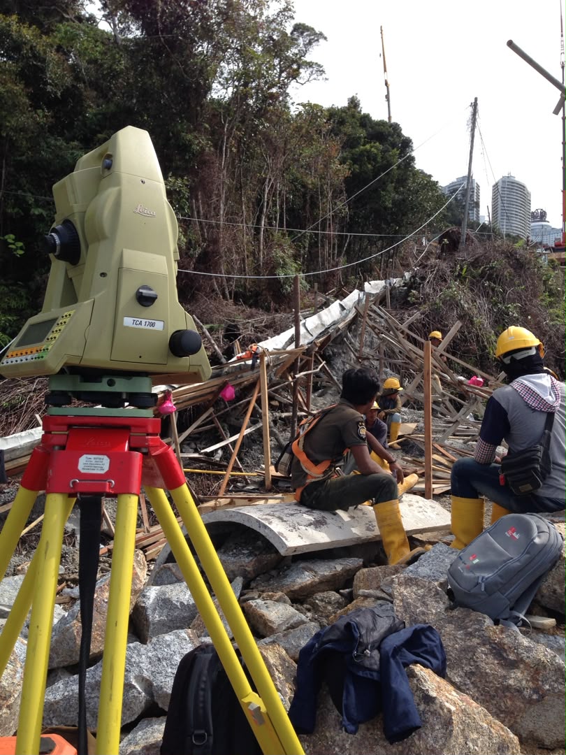
Engineering survey with total station Engineering survey team in field
02

Engineering

Precise spatial data for construction setting out, infrastructure alignment, earthwork surveys, deformation monitoring and as-built documentation.

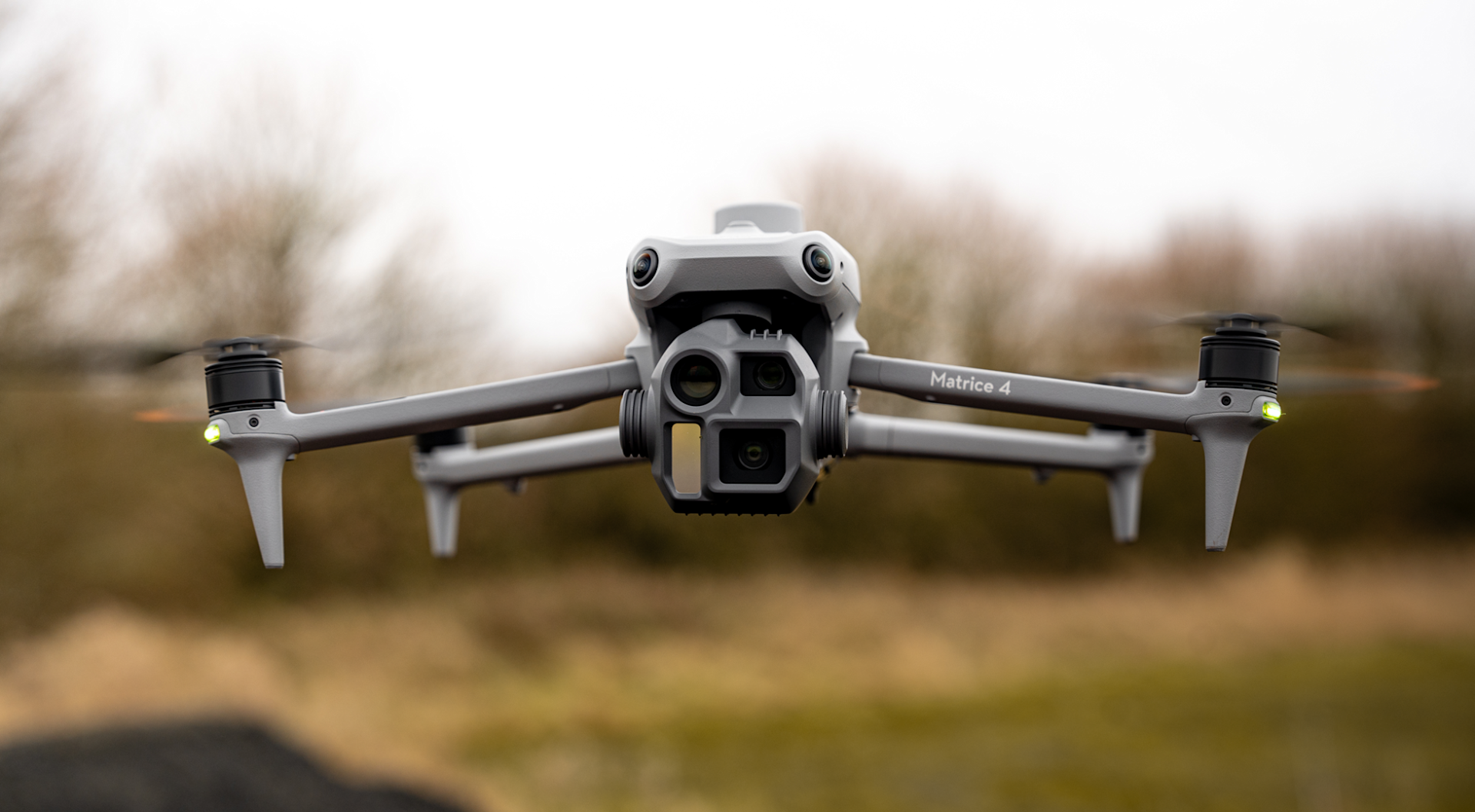
UAV drone aerial survey
03

Airborne

Drone photogrammetry for large area mapping, orthophoto generation, terrain analysis, progress monitoring and volume calculations.

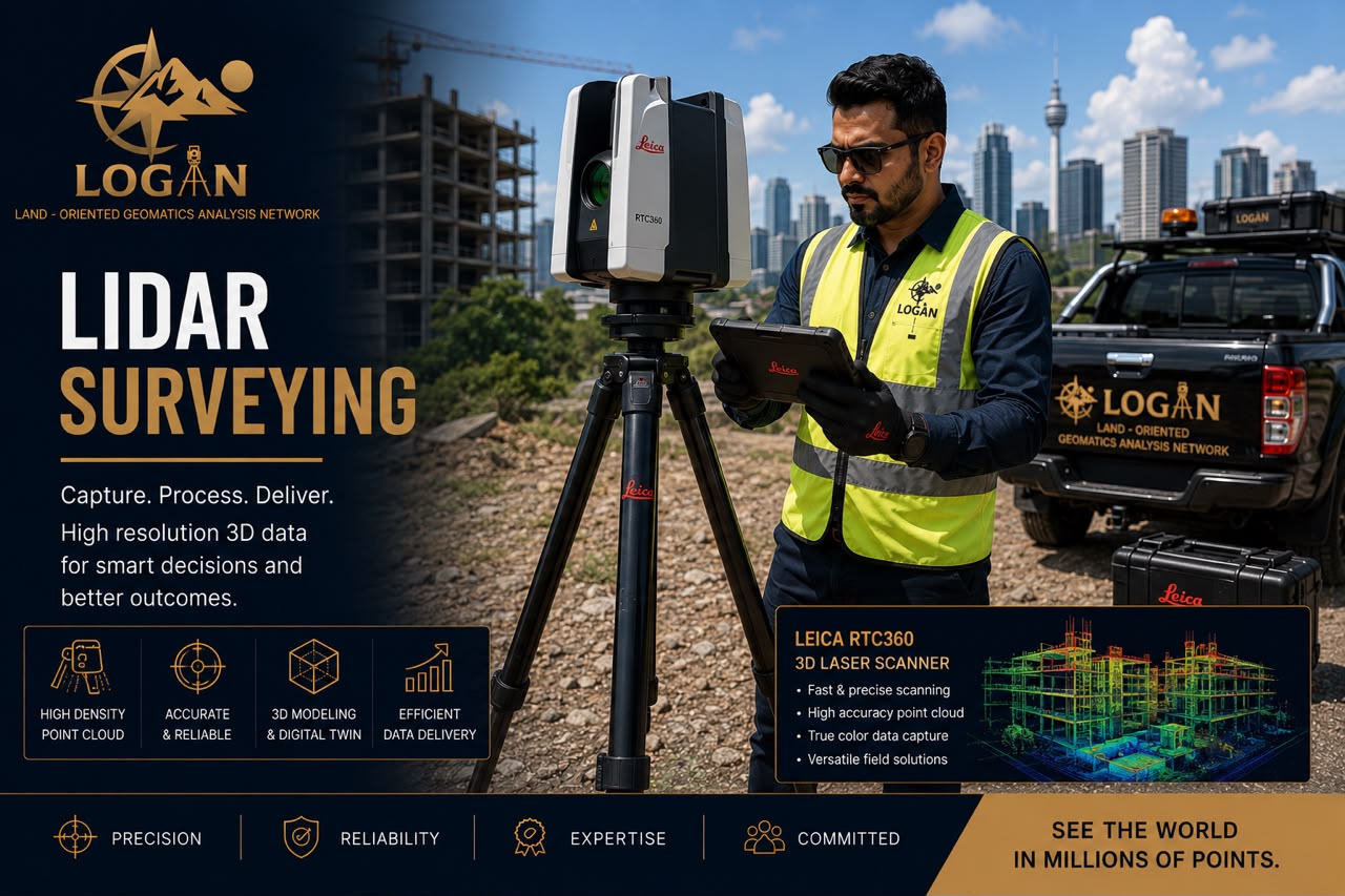
LiDAR laser scanning
04

LiDAR

High-accuracy 3D laser scanning for terrain modelling, corridor mapping, asset inspection and complex environment surveys.

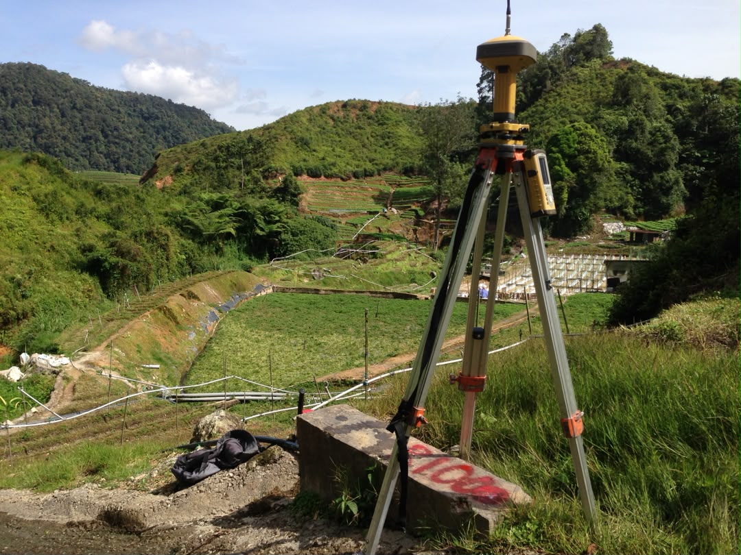
GNSS geodetic equipment
05

Geodetic

Control network establishment, GNSS surveys, datum transfer, benchmark verification and precise positioning systems.

Terrestrial land surveying
06

Terrestrial

Ground-based topographical surveys, detail surveys, control establishment and utility mapping using total stations and GNSS.

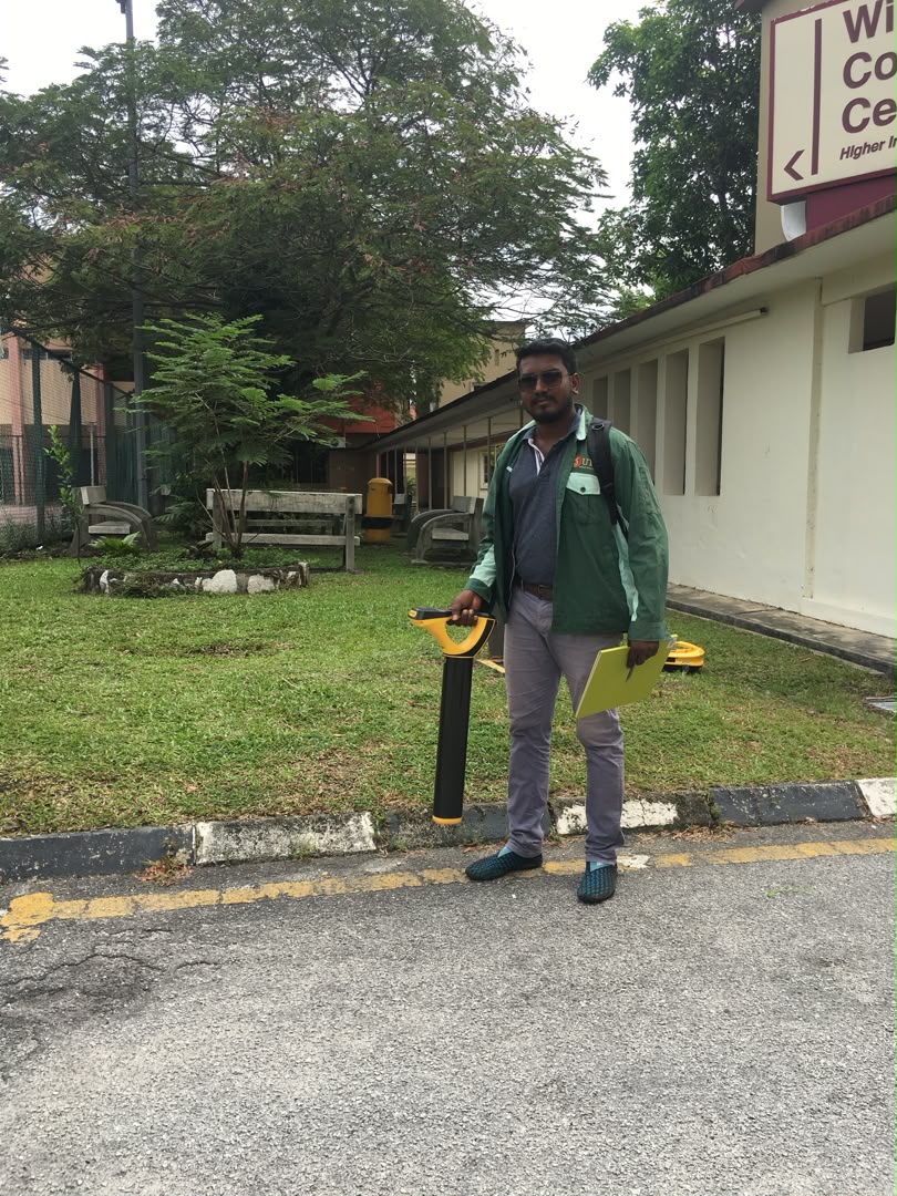
Underground utility detection
07

Underground Utility

GPR and electromagnetic detection for utility mapping, subsurface investigation and infrastructure risk assessment.

BIM building inspection
08

BIM

3D modelling, clash detection, as-built documentation and construction coordination through integrated survey data.

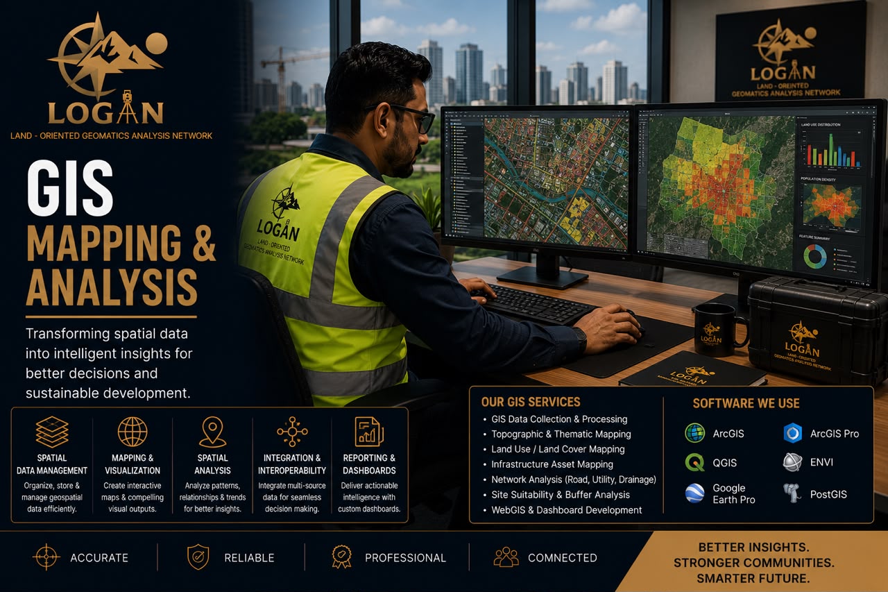
GIS mapping data
09

GIS

Spatial analysis, asset management, geospatial database development and mapping solutions for data-driven planning.

Projects undertaken

Commissions delivered across Peninsular Malaysia.

01
Land Subdivision — Kuala Terengganu
Subdivision of land under Section 137, NLC 1965 — Lot 2007, GM 492, Mukim Kuala Ibai.
Cadastral
02
Building Subdivision — Hulu Langat, Selangor
Strata title subdivision, Lot 19164, Mukim Ampang — for Sri Watan Sdn Bhd.
Strata
03
Underground Utility — Klang, Selangor
Utility detection survey & mapping on Jalan Persiaran Nagasari, Mukim Klang — for a developer.
Underground
04
Spectrum Apartment — Subang Jaya
Strata title subdivision, Jalan PJS 11/6, Bandar Sunway, Subang Jaya.
Strata
05
Utility Detection — Mila University, Seremban
Underground utility survey & mapping, Lot 66261, Bandar Nilai Utama, Negeri Sembilan.
Underground
06
Genting Court Condominiums — Setapak, KL
Strata title subdivision, Lot 201689, Mukim Setapak — for Immetec Sdn Bhd.
Strata
Why choose LOGAN

Built on precision, compliance & trust.

01

Qualified surveyor

Led by a certified surveyor with hands-on expertise across cadastral, engineering and advanced geomatics work.

02

Dependable data

Precise, reliable results through meticulous methodologies and rigorous QA/QC at every project stage.

03

Full compliance

Strict adherence to the National Land Code, JUPEM regulations and the Licensed Land Surveyors Act.

04

Modern instruments

Total stations, GNSS, UAV photogrammetry and GPR deployed for accuracy and efficiency.

05

Timely execution

Projects completed within agreed deadlines while maintaining regulated professional standards.

06

Transparent practice

Clear communication, ethical conduct and dependable delivery — the same accountability for every client.

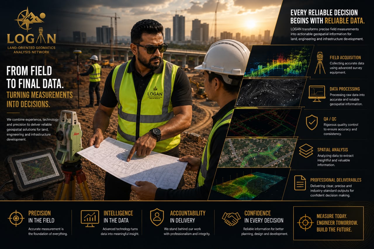
How we work

Six stages, one uncompromised checkpoint.

01

Brief

Scope confirmed1–2 days · Director
02

Site recce

Access & control1–3 days · Field
03

Acquisition

Raw dataProject-scaled · Field
04

Processing

Adjusted dataset1–2 weeks · Tech
05

QA · QC

Verified plan2–4 days · Director
06

Delivery

Certified outputOn schedule · Director
Every project passes through a QA·QC checkpoint owned by the Managing Director before any certified plan leaves the firm. This is the single discipline LOGAN refuses to compromise on.
Coverage

Nationwide, from a Kuala Lumpur base.

Headquartered in Ampang, Selangor, LOGAN delivers survey commissions across all 13 states — from George Town and Ipoh in the north to Johor Bahru in the south, and across Sabah and Sarawak in East Malaysia.

NorthernCentralSouthernEast CoastSabahSarawak
13 / 13

States with full coverage

2

Regions · East & West

KL

Headquarters

UAV drone flying a photogrammetry mission over terrain
Airborne programme · UAV photogrammetry · sub-2 cm GSD
Technology

The right instrument for the right task.

Digital elevation model rendered from survey dataDigital elevation model · point-cloud derived

GNSS Receiver cm-grade RTK

ConfigRTK rover · base station
RangeNetwork reference
UseCadastral / geodetic

Total Station 1″ / 1 mm

ConfigRobotic · reflectorless
Range3.5 km reflectorless
UseEngineering / cadastral

UAV / Drone Sub-2 cm GSD

SensorRGB + LiDAR-ready
TypeSurvey-grade quadcopter
UseAerial mapping / topo

Laser Scanner 3 mm @ 50 m

TypeTerrestrial 3D scanner
Range120 m +
UseTerrestrial / BIM
AutoCADCivil 3DArcGISQGISPix4DTrimble Business CenterLeica InfinityRevit
Get in touch

Let's build success together.

Office

No. 12-3A, Ukay Boulevard
Persiaran Ulu Kelang, Jalan MRR2
68000 Ampang, Selangor D.E.
Malaysia

Direct line

P. Logeswaran
Managing Director · Registered Land Surveyor

+60 10-222 7924 loges27@gmail.com www.logansurvey.com

We respond to all professional enquiries within one working day.

Chat with us